Buzzards Bay Stormwater Collaborative: Interactive Maps
Try our one of our four interactive mapping products
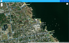
The following interactive mapping products contain current data and information for the eight municipalities participating in the Buzzards Bay Stormwater Collaborative (the Towns of Acushnet, Bourne, Dartmouth, Fairhaven, Marion, Mattapoisett, Wareham, and Westport). Outfalls and drainage networks shown in non-participating municipalities (City of New Bedford, Towns of Falmouth, Rochester, Carver, and Plymouth) are based on older data assembled or collected by the NEP and included on these maps to assist managers and planners locate stormwater discharges in those communities.
|
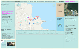
 Water Quality Dashboard Water Quality Dashboard Guide A dashboard to evaluate outfalls and view water quality sampling data. |
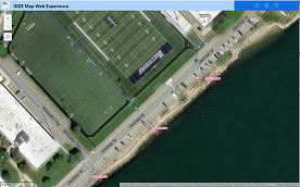
 IDDE Map A simple map to view structures during field work. |
 Sampling Dashboard A dashboard to use during sampling. This dashboard only works on smart phones. |
